
 Faculty of Science, Technology and Medicine
 Faculty of Law, Economics and Finance
 Faculty of Humanities, Education and Social Sciences
 Interdisciplinary Centre for Security, Reliability and Trust
 Luxembourg Centre for Systems Biomedicine
 Luxembourg Centre for Contemporary and Digital History
 Luxembourg Centre for European Law
 Luxembourg Centre for Socio-Environmental Systems
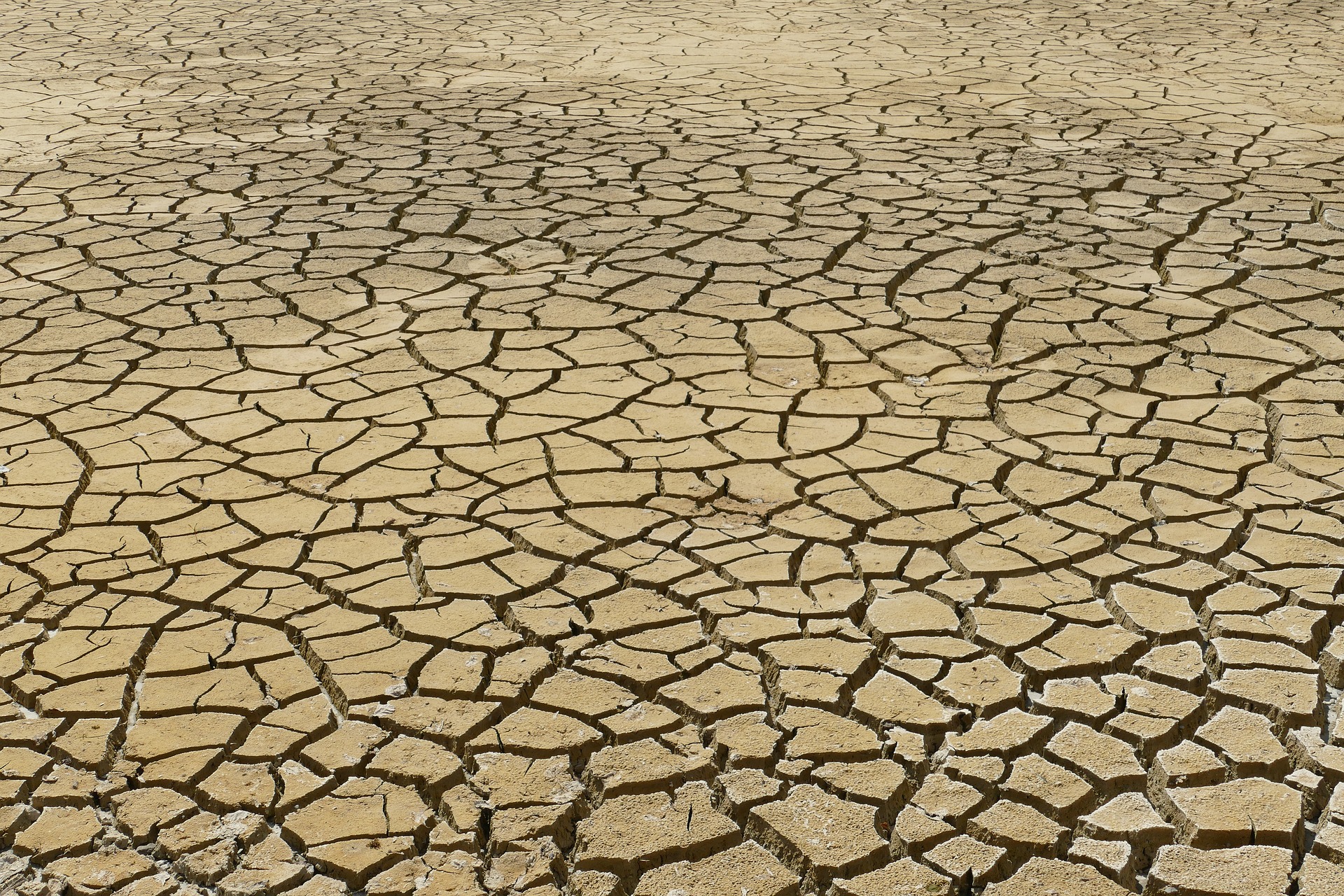
Fundamental to observing and understanding our planet
Geoscientific and geospatial techniques, such as GNSS, LiDAR, remote sensing, digital photogrammetry, and hyperspectral imaging are used to enhance our understanding of environmental processes, hazards and climate change, digitise buildings, infrastructure and our environment to generate digital models, and consequently improve sustainability and resillience.
Research to improve sustainability and resilience
The Geodesy and Geospatial Engineering (GGE) group draws on its expertise in geodesy, geophysics, remote sensing and conventional geospatial techniques, and covers applications in the geosciences and engineering:
- Climate variability and mass redistributions
- Atmospheric sensing for weather, climate and space weather
- Geodynamics and high-precision GNSS deformation monitoring
- 3D reality capture of buildings, infrastructure and our environment
- Robust statistics and data-driven analyses methods
- GNSS reflectometry for environmental applications
- Contributions to global, continental and national coordinate reference frames
The techniques developed and employed include, Global Navigation Satellite System (GNSS) (positioning and reflectometry), terrestrial superconducting and absolute gravity measurements, remote sensing (Synthetic Aperture Radar (SAR), digital photogrammetry using RGB and hyperspectral imagery, Light Detection and Ranging (LiDAR), and classic geospatial technologies.
AI, machine- and deep-learning are exploited to develop products, classify, and extract features from geospatial big data. They help to improve the modelling of cities, transport agricultural crops and trees in forests.
The GGE is involved in several international collaborative projects exploiting the above measurement techniques and observations, with studies based, e.g., in Luxembourg, the British Overseas Territories in the South Atlantic (islands of St Helena, Tristan da Cunha and South Georgia), Namibia, Austria as well as Antarctica and Greenland. Results provide information on ice mass loss, atmospheric changes, the hydrological cycle, crustal movements, and sea level changes, and make contributions to global and national coordinate reference frames.
Research projects
Our projects range from highly competitive national and international research grants of 3-4 years to short-term services or consultancies for industry and government administrations. The GGE is involved ins several EU-funded projects (FEDER, Interreg NWE) We also engage in several international long-term activities (10+ years), such as the International GNSS Service Tide Gauge Monitoring (TIGA) project, and make contributions to the International Terrestrial Reference Frame, i.e. ITRF2020, with no additional external funding for these but for the benefit of humankind and our planet.