Research to enable sustainability and society

Classic and data-driven methods in geospatial data
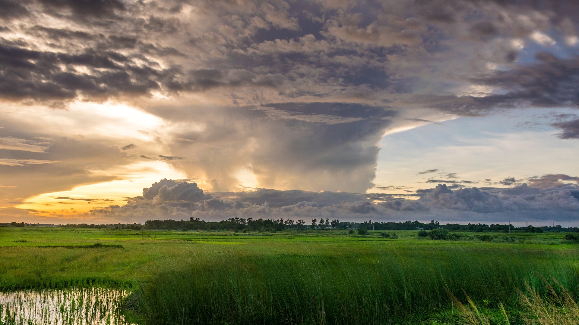
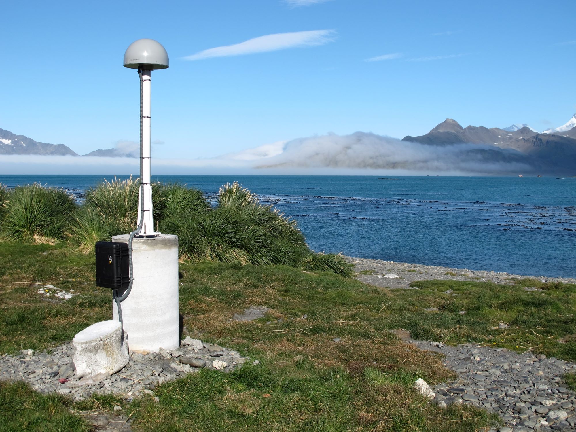
GNSS, remote sensing, laser scanning, digital photogrammetry, hyperspectral imaging and artificial intelligence in positioning, atmospheric monitoring for meteorology/climatology, crustal/structural movements for climate change/sea level studies, buildings/infrastructure, point cloud analysis, classification, feature extraction, 3D modelling, sustainable agriculture, forestry and construction
Head of Group


