Faculty of Science, Technology and Medicine
 Faculty of Law, Economics and Finance
 Faculty of Humanities, Education and Social Sciences
 Interdisciplinary Centre for Security, Reliability and Trust
 Luxembourg Centre for Systems Biomedicine
 Luxembourg Centre for Contemporary and Digital History
 Luxembourg Centre for European Law
 Luxembourg Centre for Socio-Environmental Systems
Monitor climate, improve sustainability, manage resources
Geoscientific and geospatial techniques are used to enhance our understanding of environmental processes, digitise our environment, and improve sustainability.
About
The Geophysics & Remote Sensing, Geodesy and Geospatial Engineering research area covers several topics:
– Climate variability
– Atmospheric sensing
– Resource management
– Geodynamics and high-precision deformation monitoring, together with their relations to civil engineering
– 3D reality capture and data-driven analyses methods
– Spatial dynamics and interaction of land development
– Use with human mobility and transport systems using big data sources
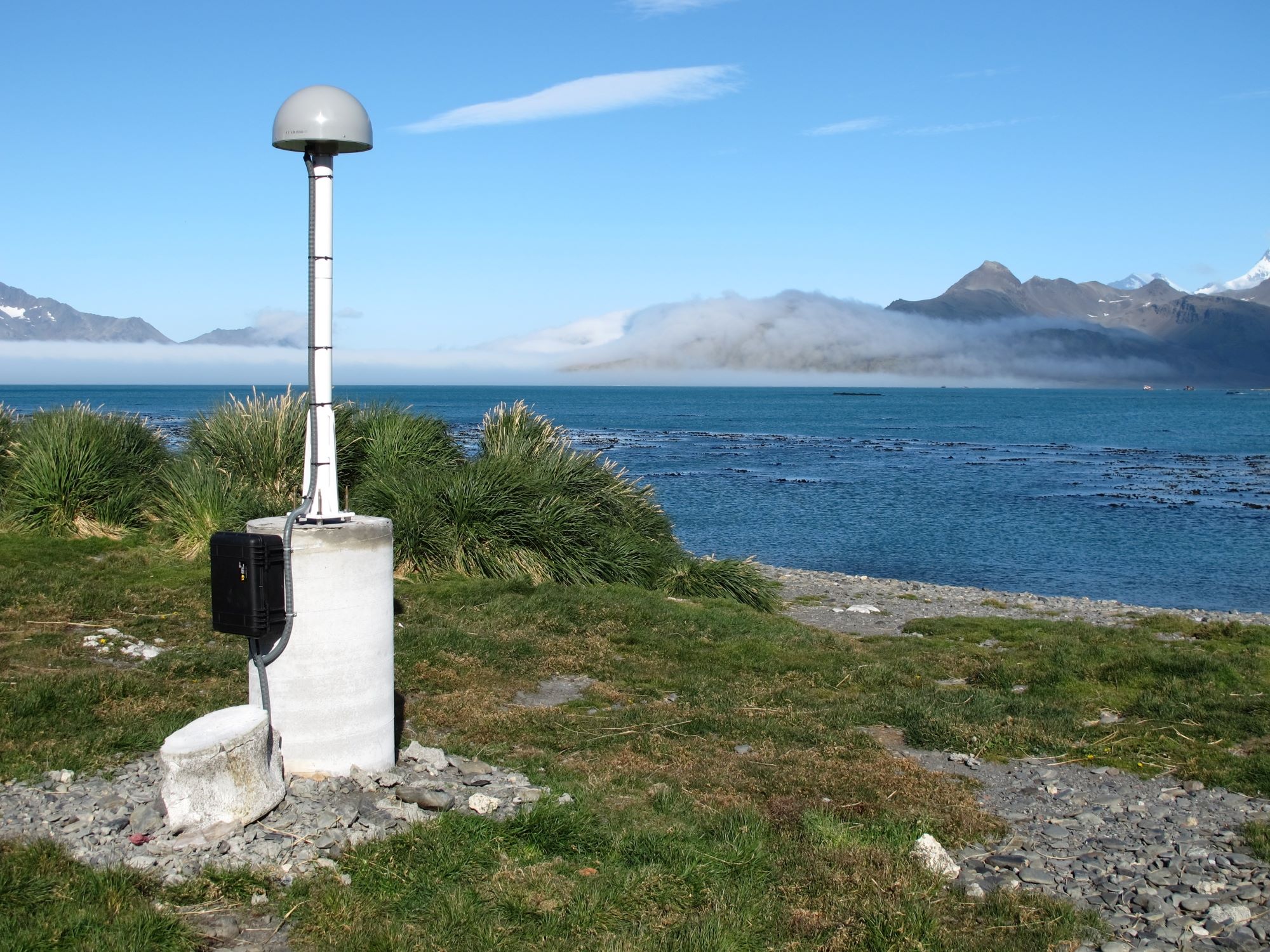
– Gravity and spaceborne Global Navigation Satellite System (GNSS), remote sensing using GNSS reflectometry for environmental applications.
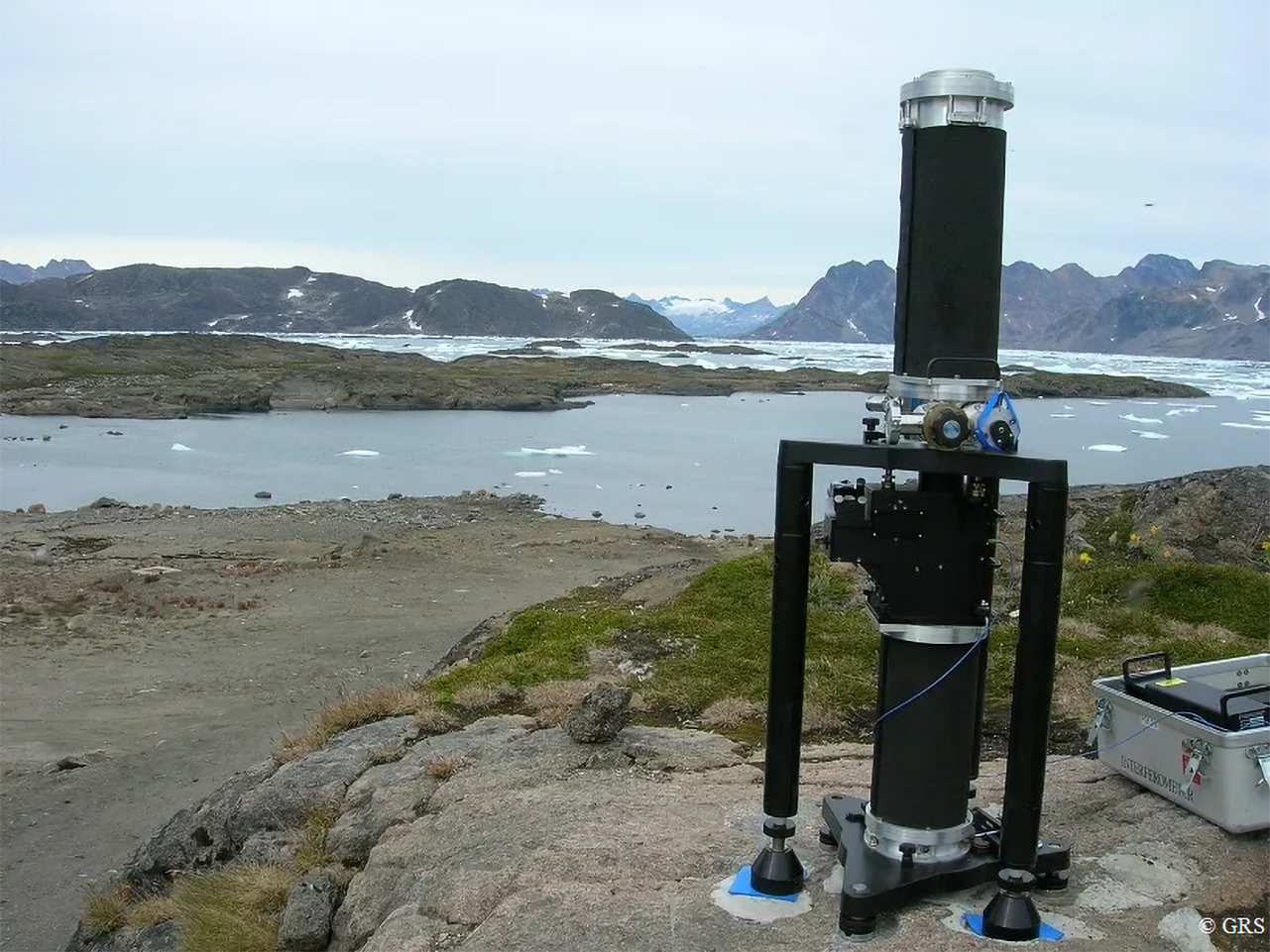
The geoscientific and geospatial techniques developed and employed include terrestrial superconducting and absolute gravity measurements, Global Navigation Satellite System (GNSS) (positioning, navigation, timing, and reflectometry), remote sensing (SAR), laser scanning, photogrammetry, and classic geospatial technologies.
AI, machine- and deep-learning are exploited to develop products, classify, and extract features from geospatial big data. They help to improve city modelling and transport.
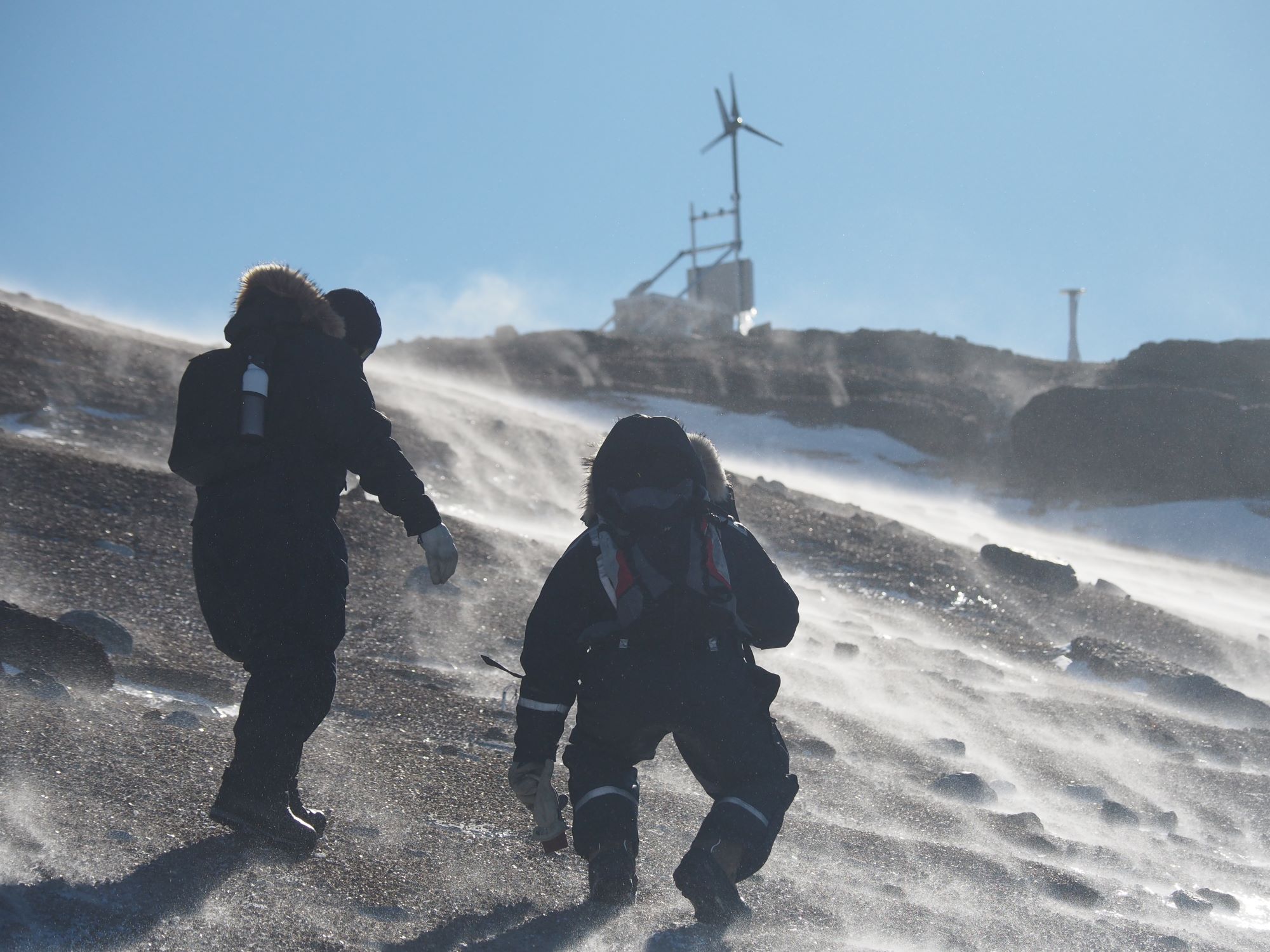
The teams are involved in several international collaborative projects exploiting the above measurement techniques and observations, with studies based in Antarctica, the Austrian Alps, Greenland, Yellowstone National Park, the British Overseas Territories, Southern Africa, and Luxembourg. Results provide information on ice mass loss, atmospheric changes, the hydrological cycle, crustal movements, and sea level changes.
In addition to observing and digitising the environment and anthropogenic infrastructures, our teams study transport planning and control, mobility and traffic modelling. Based on our findings, we propose sustainable transport services, optimised supply chains, and logistics management.