

 Faculty of Science, Technology and Medicine
 Faculty of Law, Economics and Finance
 Faculty of Humanities, Education and Social Sciences
 Interdisciplinary Centre for Security, Reliability and Trust
 Luxembourg Centre for Systems Biomedicine
 Luxembourg Centre for Contemporary and Digital History
 Luxembourg Centre for European Law
 Luxembourg Centre for Socio-Environmental Systems
Advancing Earth & Space Understanding through GRS
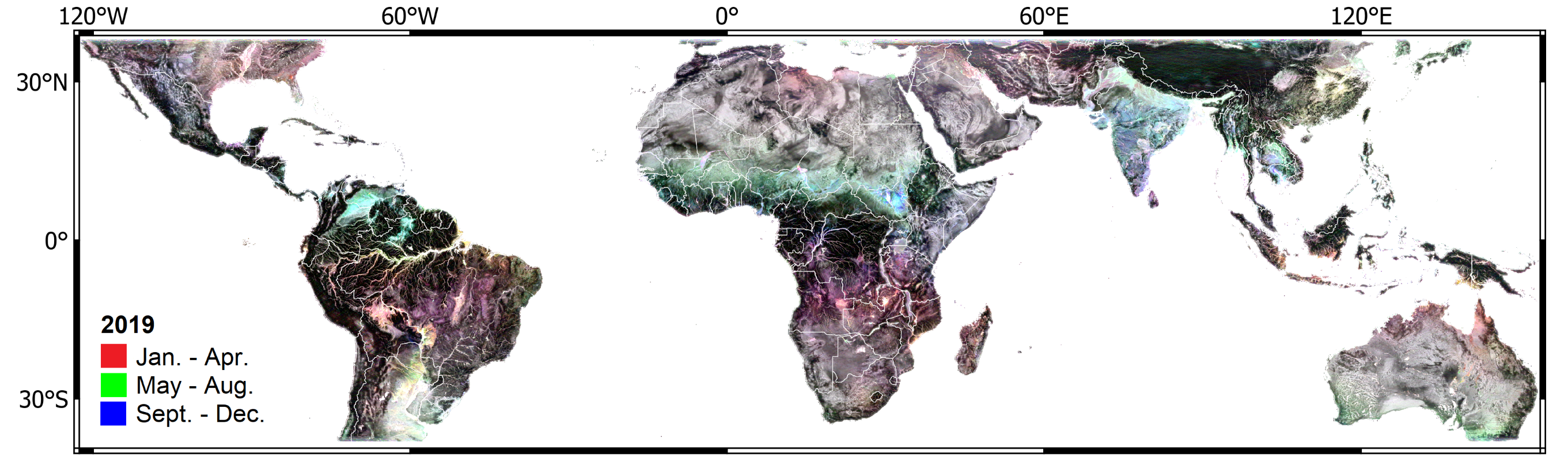
The GRS research group focuses on using cutting-edge technologies to investigate the Earth’s structure, dynamics, and processes, both on the surface and in space. Our interdisciplinary team of researchers strives to advance the understanding of the planet and its surrounding environment through innovative methods and collaborations with other scientific fields.
Exploring Earth & Beyond: GRS
Geophysics & Remote Sensing: Imaging Earth & Space
GRS is a research group dedicated to studying environmental changes and their impact on the Earth’s systems, including human and natural factors. Our group employs geophysics and remote sensing techniques, including those from space-based platforms, to obtain accurate and reliable geodetic measurements of these changes. We develop innovative remote sensing applications and advanced methodologies to facilitate this research. Our ultimate objective is to contribute to the field of environmental science and promote sustainable practices for a better future. By combining cutting-edge technology and expertise in the field, our group is well-positioned to make significant contributions to understanding environmental changes and addressing the challenges of our time.
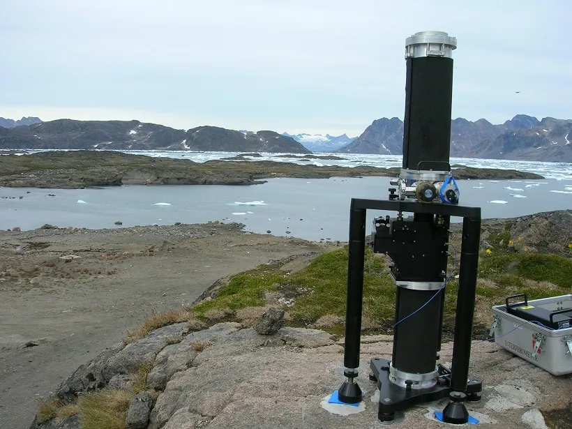
Geophysics and Remote Sensing for Hazards and Space
Our interdisciplinary team works on developing advanced technologies to detect, monitor, and mitigate the risks associated with natural disasters and to identify and assess space resources for future exploration and utilization.
GRS combines expertise in geophysics, remote sensing, planetary science, and engineering to contribute to the sustainable development of our planet and beyond.
Innovative Technologies for Sustainable GRS
GRS research group is committed to advancing the understanding of the Earth’s subsurface and beyond using innovative and sustainable technologies. Our research is focused on developing cutting-edge geophysical and remote sensing techniques for imaging the Earth’s subsurface and characterizing its geological properties. We employ a range of advanced technologies such as gravity surveys combined with satellite-based remote sensing data, to gain a comprehensive understanding of the Earth’s structure and composition. Our interdisciplinary team of experts in geophysics, remote sensing, data science, and engineering works on designing and testing new technologies to improve the efficiency and accuracy of our imaging methods.
We collaborate with industry partners, government agencies, and other research institutions to leverage their expertise and resources and to ensure that our research contributes to sustainable development goals. Through our research, we aim to address some of the most pressing challenges facing our planet, including resource exploration and management, natural hazard monitoring and mitigation, and climate change adaptation.

We are committed to promoting sustainable and responsible use of our planet’s resources and to building a better future for all.