
 Faculty of Science, Technology and Medicine
 Faculty of Law, Economics and Finance
 Faculty of Humanities, Education and Social Sciences
 Interdisciplinary Centre for Security, Reliability and Trust
 Luxembourg Centre for Systems Biomedicine
 Luxembourg Centre for Contemporary and Digital History
 Luxembourg Centre for European Law
 Luxembourg Centre for Socio-Environmental Systems
Decoding hidden knowledge
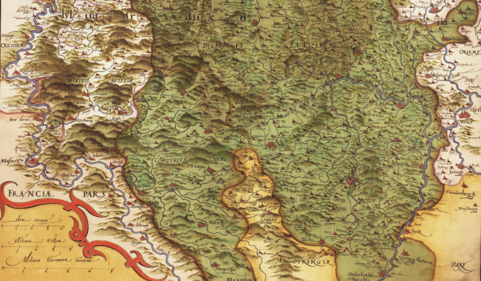
Image: Wikimedia Commons
The history of cartography refers to the development and significance of historical maps from antiquity to the present. Historical maps are defined as multi-layered carriers of (not only spatial) knowledge and interpreted as particularly informative sources.
About
Spaces, especially on maps, are historically constructed and continuously rearticulated. Space-related research is not limited to questions of territoriality but allows the analysis of political, economic, social and cultural phenomena. In addition to the analysis of historical maps, the Institute of History also uses cutting-edge cartographic methods to visualize spatial changes over time. Digital historical cartography is a key research method for the projects carried out at IHIST.
Contact


.png)