Faculty of Science, Technology and Medicine
 Faculty of Law, Economics and Finance
 Faculty of Humanities, Education and Social Sciences
 Interdisciplinary Centre for Security, Reliability and Trust
 Luxembourg Centre for Systems Biomedicine
 Luxembourg Centre for Contemporary and Digital History
 Luxembourg Centre for European Law
 Luxembourg Centre for Socio-Environmental Systems
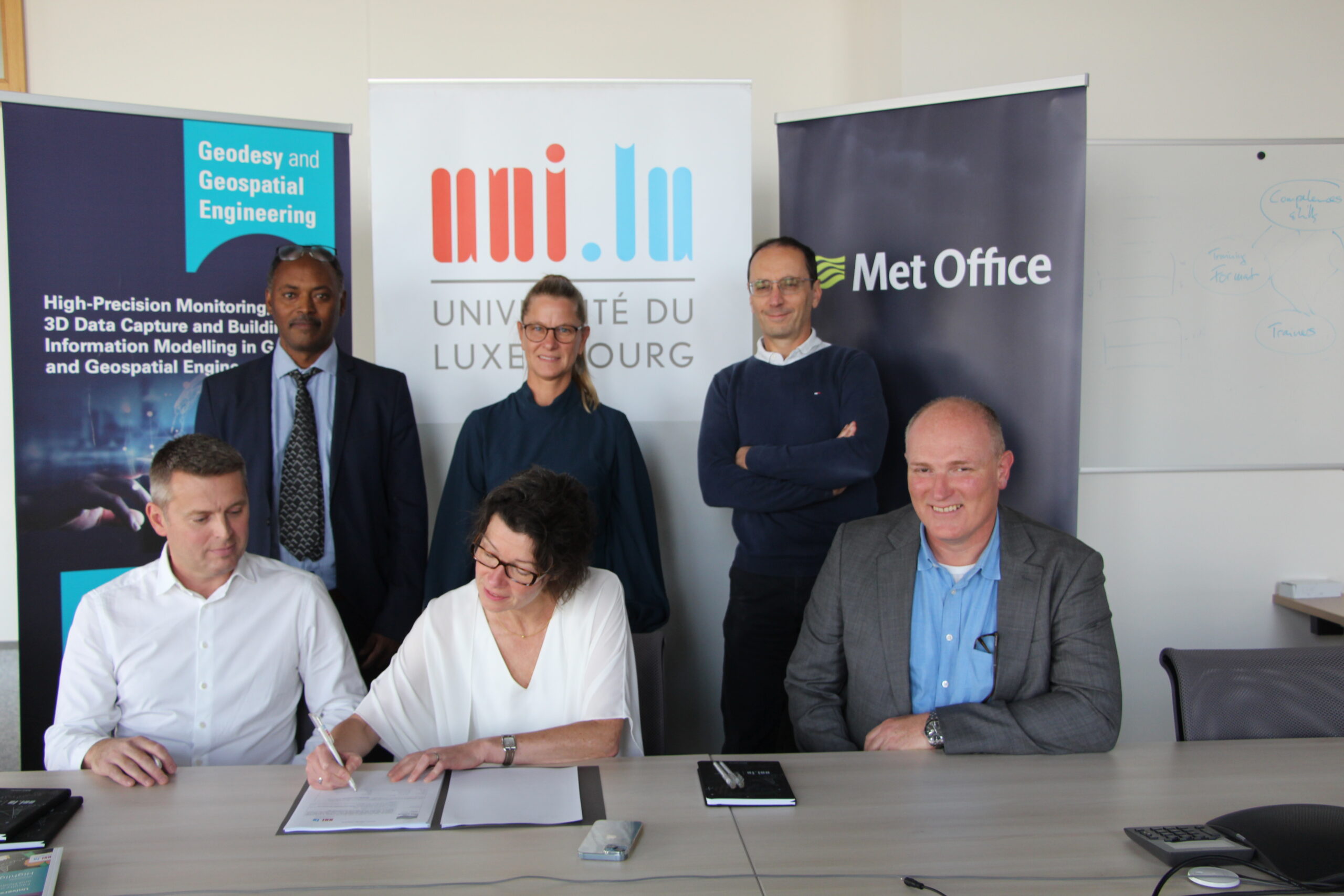
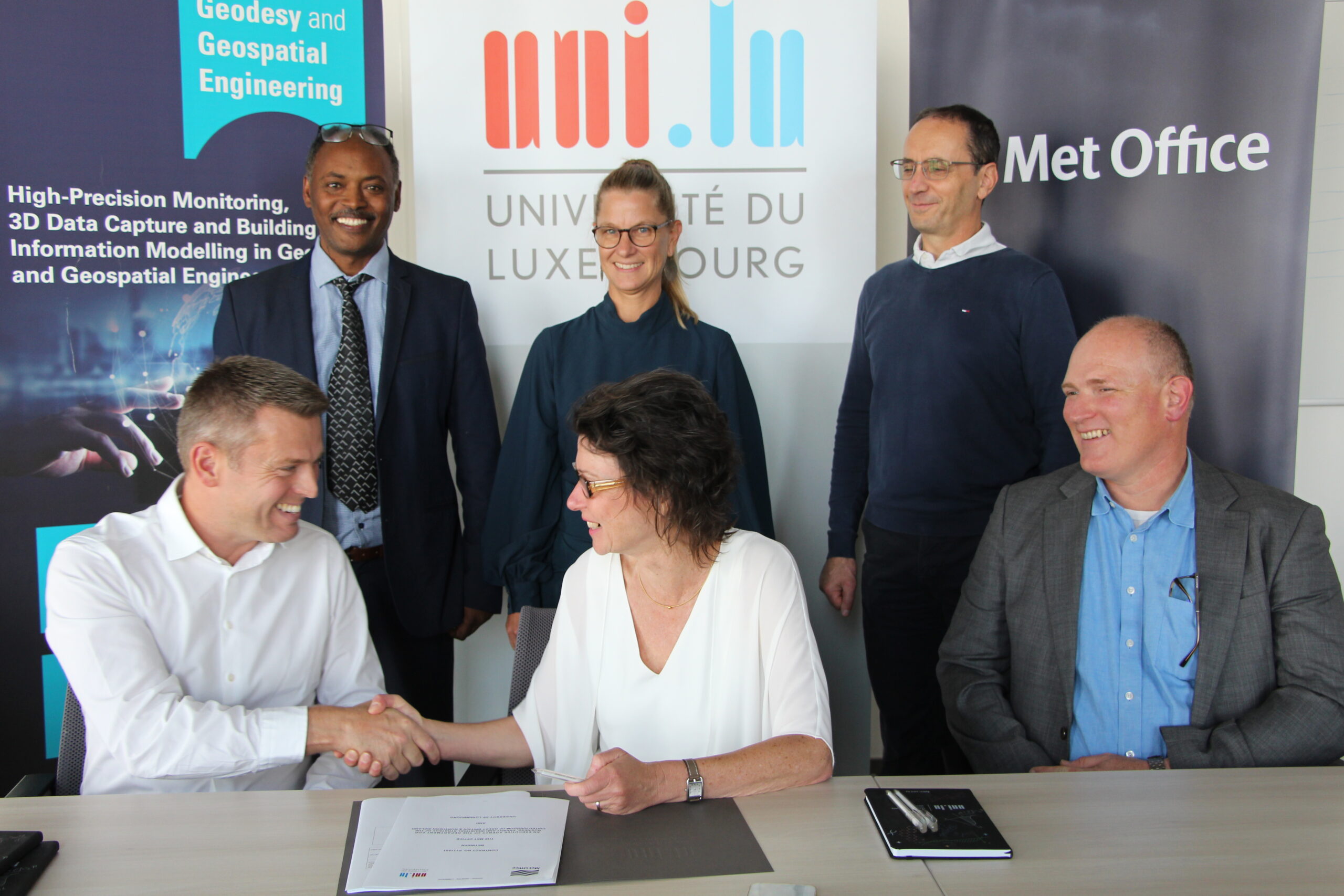
The University of Luxembourg and the United Kingdom Met Office (UKMO) engage on a collaborative path for research and development in the field of GNSS meteorology. On 28 September, a service contract was signed, enabling the Team Geodesy and Geospatial Engineering headed by Professor Teferle of the Department of Engineering to support the UKMO in their operational use of atmospheric products derived from Global Navigation Satellite System (GNSS) observations such as from the U.S.’ Global Positioning System and Europe’s Galileo constellations.
The tropospheric products are assimilated in several numerical weather models, covering for example the entire Globe or Europe, and provide valuable information for weather forecasts. The ionospheric products support the UKMO’s space weather forecasts, which are important for global communication networks, satellite operators and for the operators of power grids. This agreement enables both partners to engage on further collaborative research projects involving, for example, adding further GNSS constellations and developing more effective processing algorithms.
Professor Teferle has worked with GNSS since the early 1990s and for the Team Geodesy and Geospatial Engineering this means a further project in GNSS meteorology after the FNR OPEN VAPOUR project concluded in 2022, and several past and ongoing FNR projects PWVLUX, POSILUX and NWPLUX.